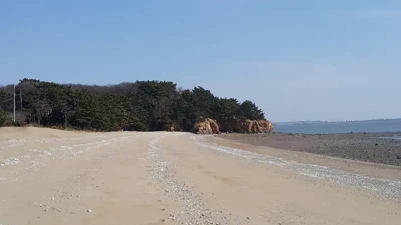
West coast of Yeongjong Island · Photo sseshe, CC0
258 running routes around Seoul
Seoul area, Busan, Daegu, Daejeon, Gwangju, Ulsan and Sejong on one map, with route lines, distances and start points.
- 160route lines
- 126verified
- 10areas
Green distance checked against public agency dataAmber drawn from runners' records, so check signs on site
Verified routeApproximate route
Where to run
The three best-documented routes in each area.
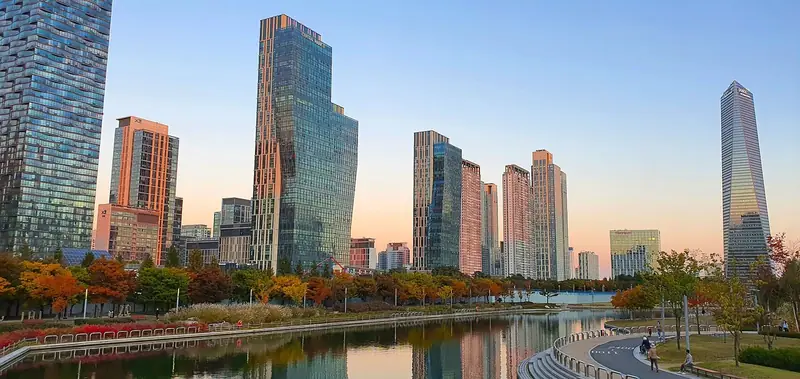
Songdo Central Park · Photo José Carioca, CC BY-SA 4.0
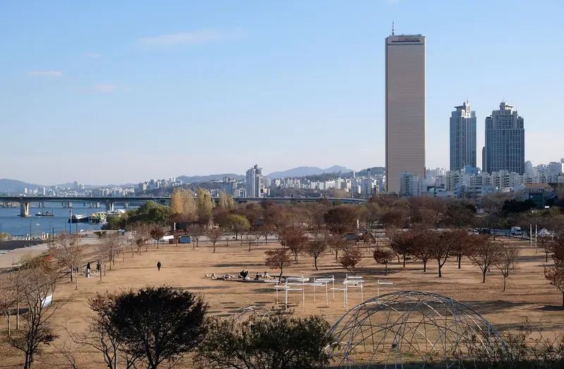
Yeouido Hangang Park · Photo kallerna, CC BY-SA 4.0
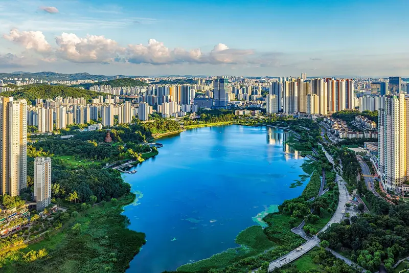
Gwanggyo Lake Park, Suwon · Photo Park Areum, KOGL Type 1
How long will it take you
Based on the measured length of 93 verified routes.
6'00"/ km
RouteLengthTime
- Namsan North Loop RoadSeoul · Namsan4.9 km29 min
- Namsan Dulle-gil Trail (Bike-Free Section)Seoul · Namsan4.9 km29 min
- World Cup Park Loop (Haneul Park · Noeul Park)Seoul · World Cup Park4.9 km29 min
- Suwon Hwaseong Fortress Wall PathGyeonggi-do · Haenggung-dong, Suwon4.9 km29 min
- Ilsan Lake Park LoopGyeonggi-do · Ilsan, Goyang5 km30 min
- Oncheoncheon Stream RunBusan · Dongnae · Yeonje5 km30 min
- Suyeonggang River Run (APEC Naru Park)Busan · Centum, Haeundae5 km30 min
- Sincheon Stream Riverside RunDaegu · Sincheon (Buk-gu, Jung-gu, Suseong-gu)5 km30 min
Lengths are measured along the route line on the map and can differ slightly from signposted distances.
Running between flights
Incheon Airport sits on Yeongjong Island, where 21 of our routes are. Our guide covers which ones work on a layover and what to check first.